Ann Arbor, Michigan
1866 Map
Ann Arbor, Michigan
1866 Map


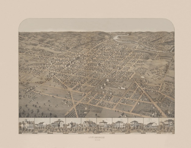
Panoramic maps were also called "bird's-eye-view maps" because towns and cities were drawn as if viewed from above at a slanted angle, much like a bird might see from a half mile away as it flew by the town. Panoramic cartographers didn't worry so much about the exact scale of their drawings; they concentrated instead on illustrating street patterns, individual buildings, and major landscape features in perspective.
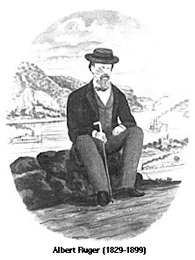
Albert Ruger formed Merchants Lithographing Company with a partner in the late 1860s, producing many of these popular maps. Ruger’s panoramic maps give us a glimpse into the past of America's towns and cities. Ruger helped develop this new form of cartography (mapmaking), producing maps of towns and cities in 22 states from New Hampshire to Minnesota, and as far south as Alabama.
Credit: Albert Ruger, 1829-1899 American Panoramic Artists and Publishers in Panoramic Maps, 1847-1929, Library of Congress.